Postcode Sector Map - (S4) - South East England - Wall Map-Plastic Coated
XYZ Maps
Description
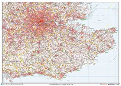
This South East England Sector Wall Map shows detailed Postcode Sector Boundaries (BN1 1, BN1 2) on a Comprehensive Background A0 Size - 1189mm x 841mm Plastic Coated waterproof / wipeable Read more
GTIN
5060688685529
Offered by
Amazon.co.uk
Save product
Product saved
Compare Product
Price history
Related products
Please select at least 2 products for your comparison
Show comparison